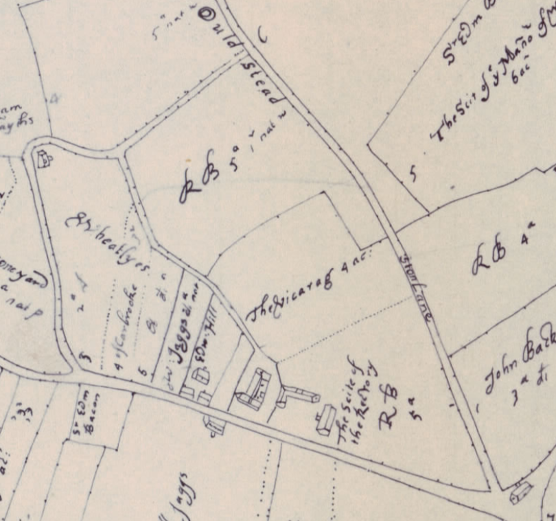
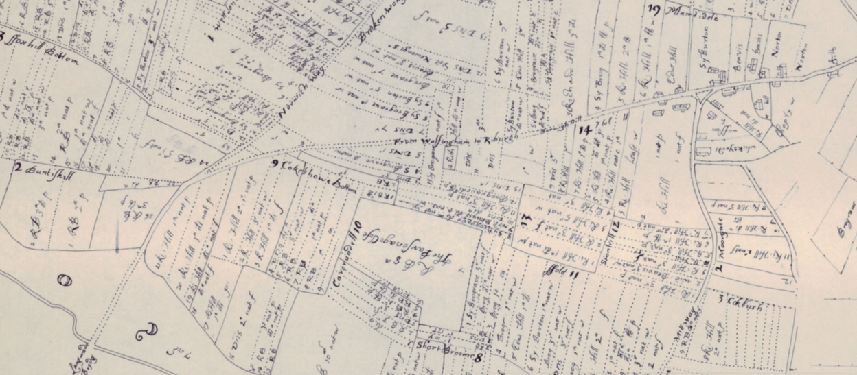
The next time you take a walk through The Street, Little Ryburgh, take time to consider just what has all but disappeared from the surrounding countryside. Fortunately there are sufficient vestiges to be seen just from the road of what once was. However, for this we need the help of the remarkable hand drawn field map believed to date from around 1680 held in the British Library and Add Mss 39248. It is entitled:
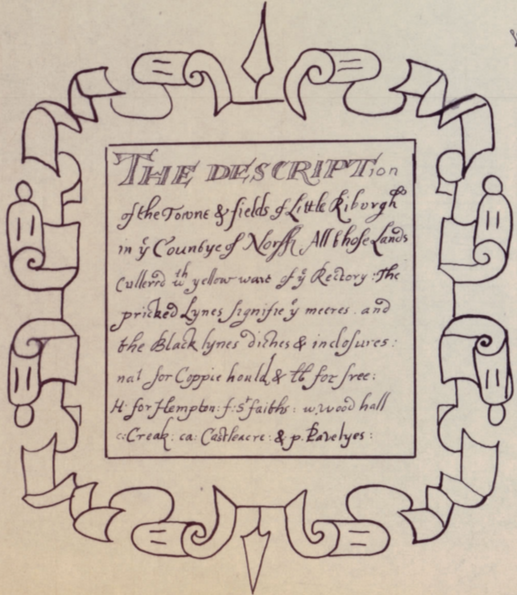
"The description of the towne and fields of Little Riburgh in y e Countye of Norff. All those lands cullered with yellow ware of y e Rectory: the pricked lynes signifie y e meeres and the black lynes diches and inclosures: nat. for Coppie hould and lb. for free: h: for Hempton: f: St . faiths: w. Woodhall: c: Creak: ca: Castle Acre: and p. Pavelyes.”
In 1976, David Yaxley, known to us from Larks Press publications, transcribed a beautifully executed copy of that field plan which has made the contents of the original extremely accessible to us.
The map was originally notated with 31 named areas and of many subdivisions with the names of owners and occupiers and the strips of the fields that are farmed. It shows Little Ryburgh to have been a very different place in the past and with this hard evidence in front of us we can take a journey back in time to visit some of those areas and meet a few former inhabitants.
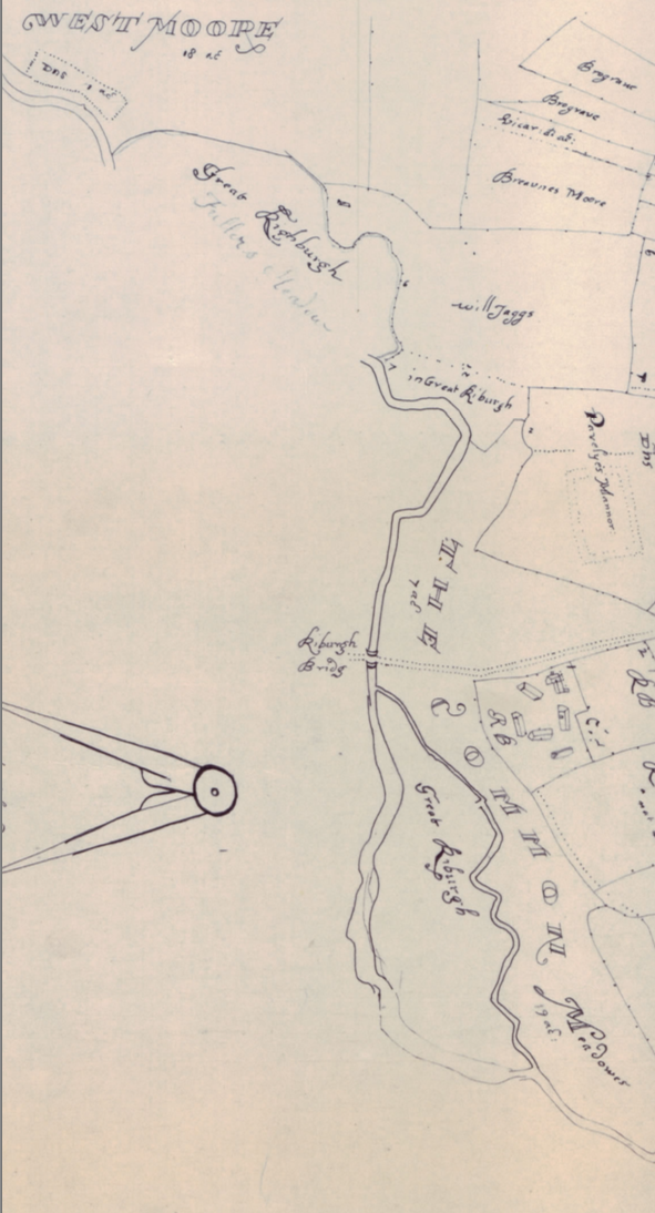
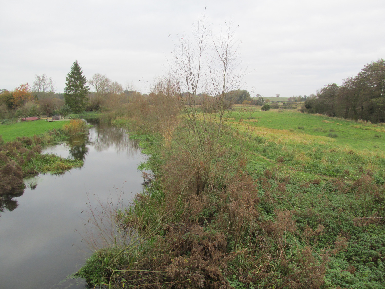
As we walk over the bridge, we will begin to cross the water meadows of the “Common”, but stop on the bridge in order to imagine “Fullers Meadow”, a part of Great Ryburgh Parish, briefly crossing the river boundary upstream of where you are standing next to the 18 acres named “Westmoore”. It crosses back as it meets the “Common” before the bridge crossing.
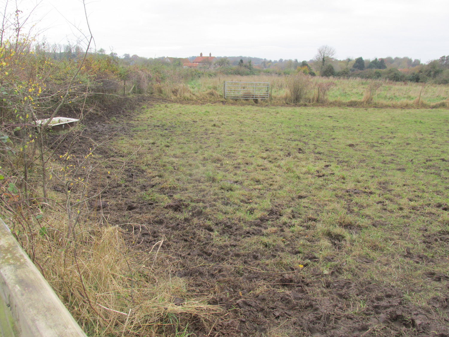
Beyond the “Common” is a house with 5 other buildings on the site of the present Bridge Farm. This plot along with many others in the parish has the initials R.B. My suspicion is that they represent the Bacon family but don’t quote me on that!
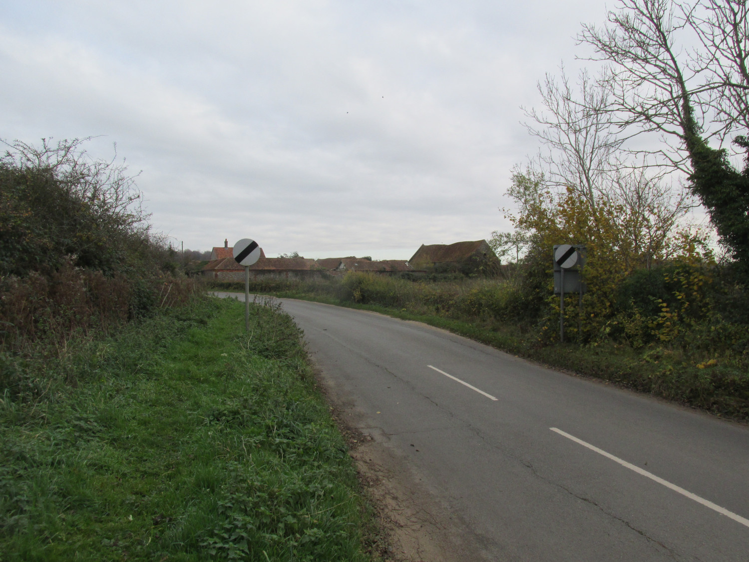
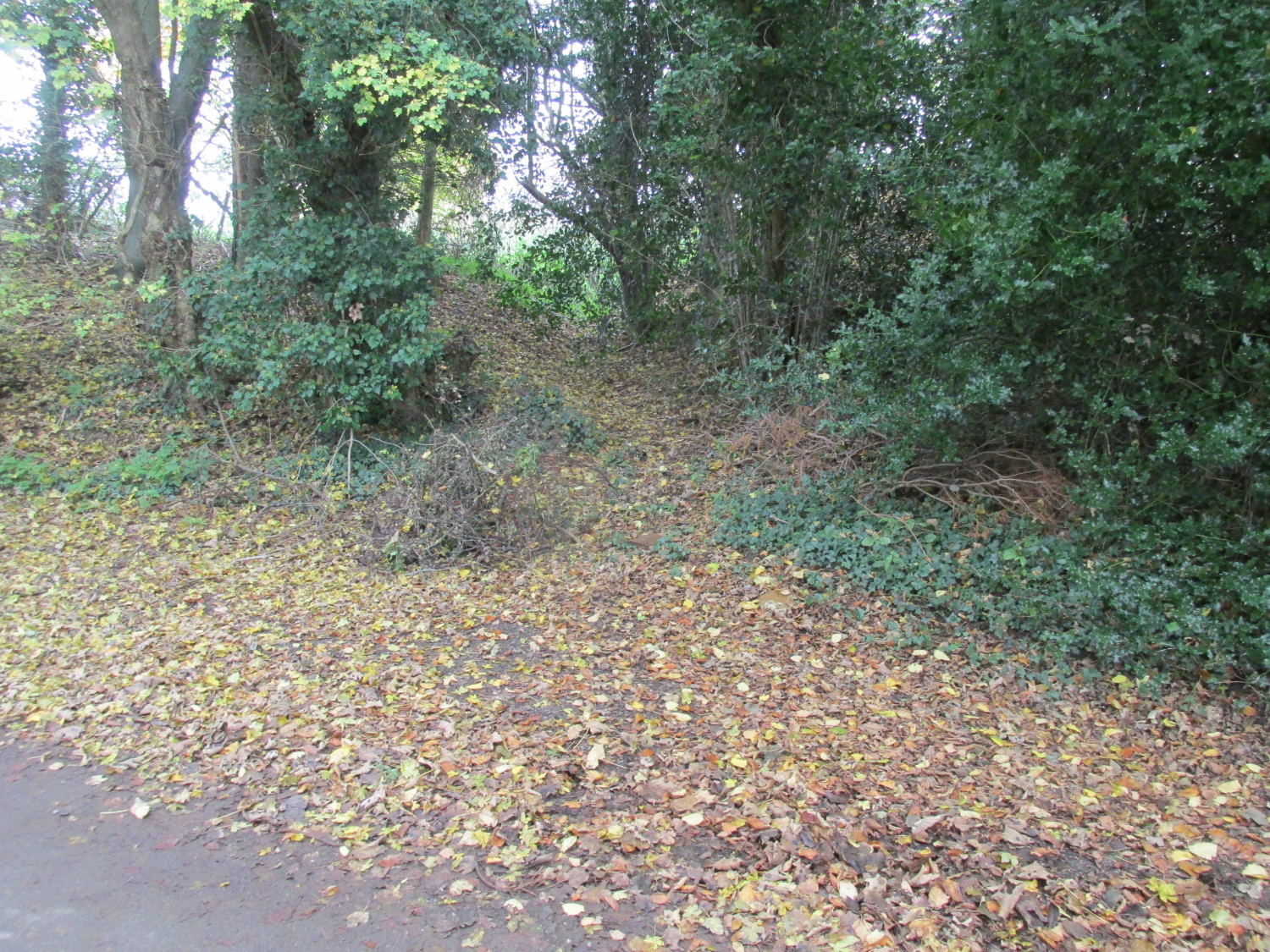
When we reach the place where storm water regularly washes across the road, we can still imagine a 3 way division. If you had continued straight up the present main road, which was then called “Ston Lane” as you passed the area numbered 20 “Oulde Stead” you would very soon end up in a field marked “Copreland”.There was no through road to Stibbard that way and certainly no Stibbard Crossroads problem in those days!
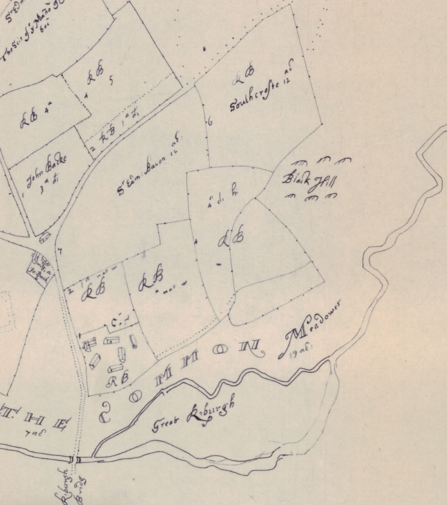
On your right, on Henry’s hardstanding, we would have found a dwelling, and beyond that we can clearly see the road that crosses the “Heath”. At the top, turn left on the road “from Riburgh to Holt” or go straight on to “Geyst”. If you walk up this track, as you can do today, you would see on your right “Southcrofte” and “Black Hill“ the fields and land above Bridge Farm.
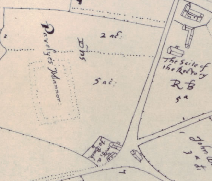
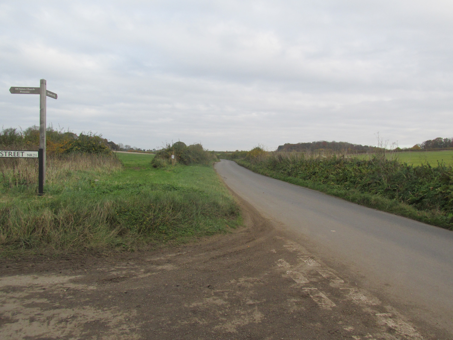
Returning to the Little Ryburgh junction, as you turn up the hill to the “towne” you would have seen on the lefthand side corner, 2 houses in the possession of “John Backe” and possibly behind that, the remains of“Pavelye’s Mannor”. which are represented by a dotted outline on the map. This road was named as Hell Lane on the first Ordnance Survey map of the late 1880’s but there is no such name on our map of 200 years previously.
As you walk up to the now ruined church, the field on the right tells that it is the “Seite of the Rectory” and a house and sizeable outbuilding occupy the present graveyard .
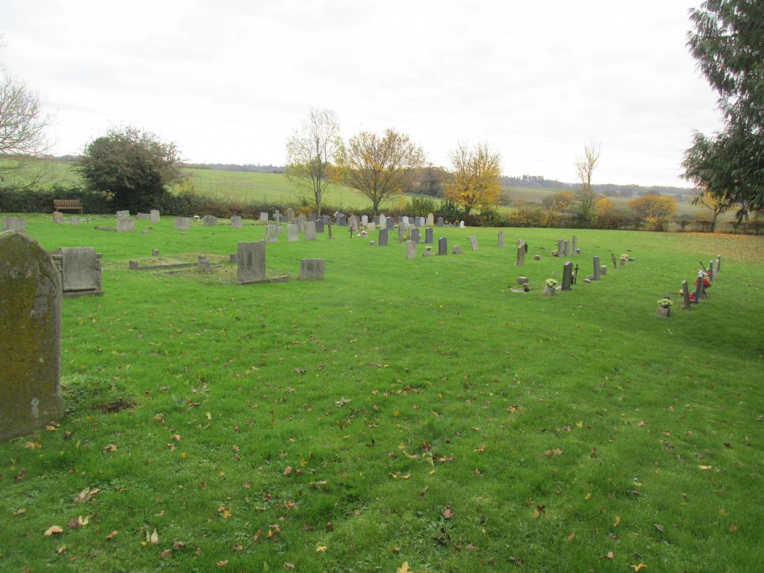
The map’s illustration of the church of All Saints shows a building with tower and spire. Was this the case in 1680 or is it merely artistic licence? From the N E corner of the churchyard a track runs along the top of the field parallel to the present main road.
Take a look over to the present road from this point and in the field beyond the road you will just have to imagine that even in 1680 there was nothing that remained of what is labelled “The Scit of y e Manor of Woodhall”
Make your way back to the road where just past the church, there is a house on the left
and 3 more just beyond that on the right more or less where the current pair of cottages now stand. On the right past these is a track that separates “Bush Close or grove yard” which is 3 acres farmed by “Brograve”(copyhold of “Pavelyes Manor”) and “Wheatlyes” with strips farmed by “Edw. Hill”, and “Will. Jaggs” . There is a house at the top of this track which then makes its way down hill to join with the track from the churchyard and continues on to join “Ston Lane” at “Oulde Stead”.
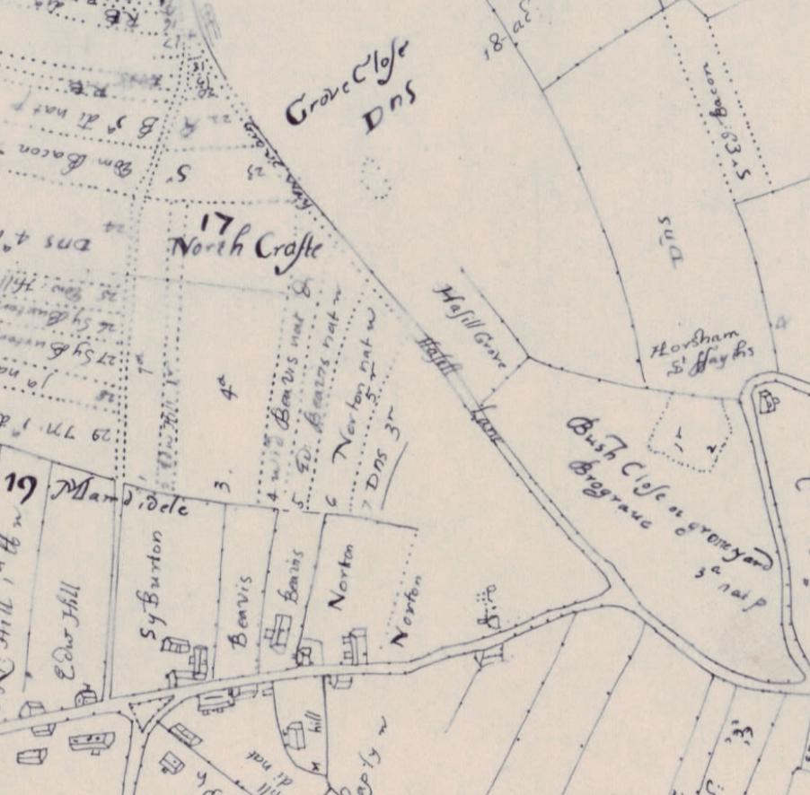
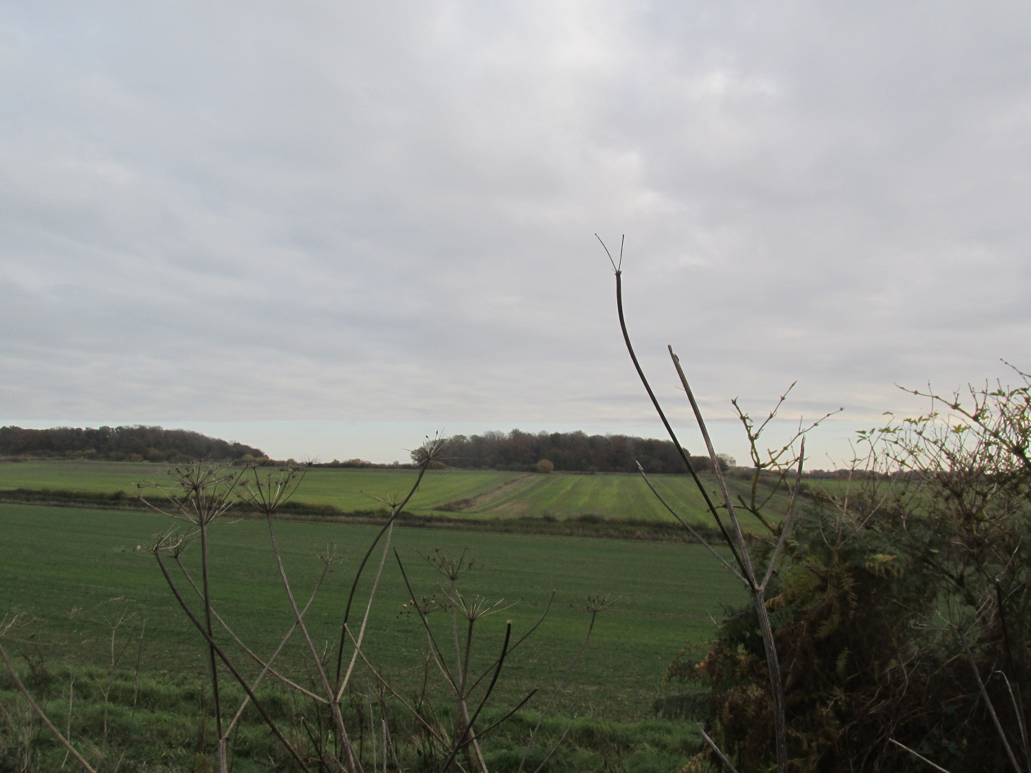
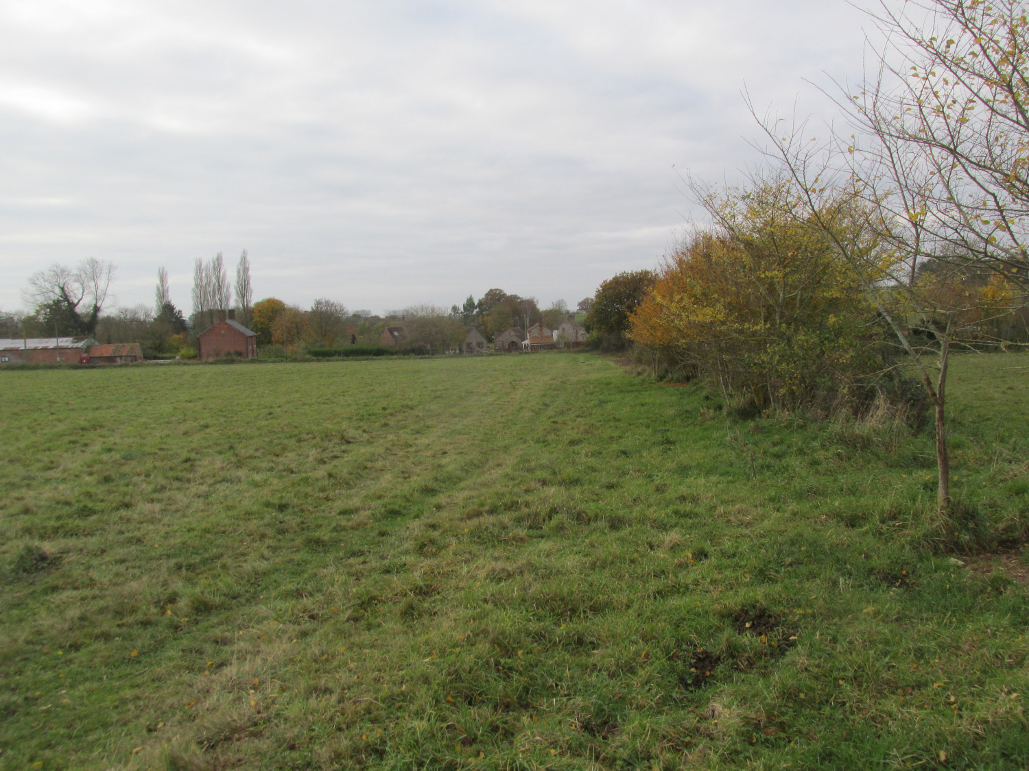
Now with “Bush Close” on your right, you will descend into the dark blind bend where vehicles pull over to let Henry’s tractor past. This is another important division of the road. By keeping right you would have found yourself on the track called “Hazell Lane” which went on alongside “Bush Close” then “Hazell Grove” to become “Grove Way”. This gave access to a large 18 acre field called “Grove Close” You can’t walk that route from this point any more so you have to follow the present road. However in 1810 at the time of the Inclosure part of this route, up to “Grove Close”, was identified as the 3rd Private Road in the Parish and the name of“Bush Close” is still recorded there.
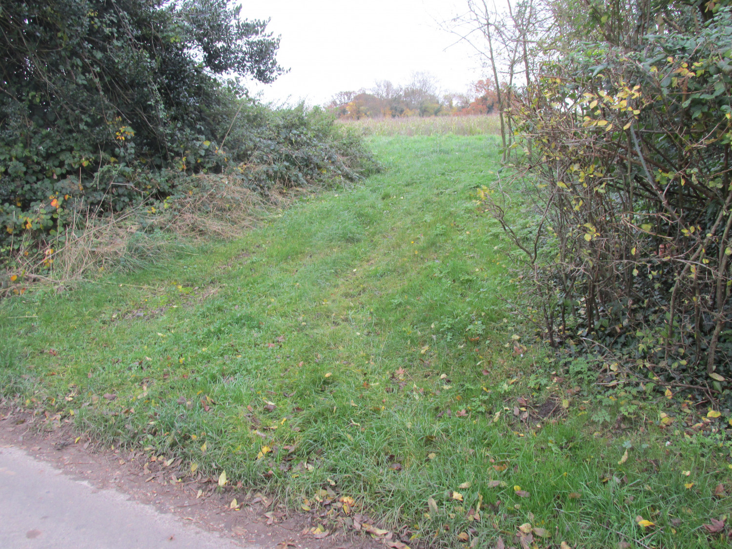
By the time you reach the current footpath that heads up towards the Fakenham/Norwich road in the middle of the village, you would have already passed a dozen dwellings on the right and left. You may not now be aware, but this well used footpath meets up with “Hazell Lane” and “Grove Way” to cross the “Stibbard Field” boundary before reaching the Norwich Road.
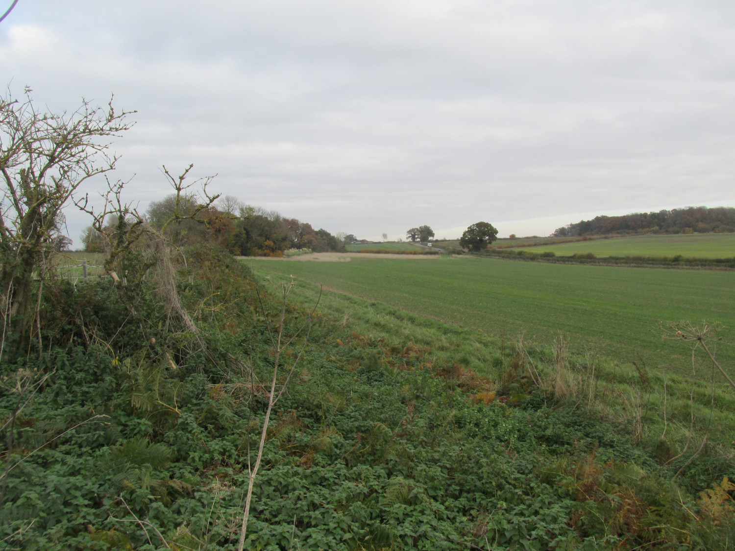
There were 5 more dwellings beyond the footpath on the site of the present day remaining houses of The Street before you go up “Burough Hill” and along the “Walsingham to Riburgh“ road. There are no dwellings on “Burough Hill”, no Hill Farm and nothing at what we now call May Green. This area is identified by the surrounding plots at the junction with the “Norwich Way” namely “3 ffoxhill Bottom”, “9 Cokeshowe Bottom” and “15 Braken Wonge”.
It might be a surprise to find that Little Ryburgh doesn’t end here but covers the area up to “Langwade Bridge” and the [Little Ryburgh] “Common” that existed up until the Inclosure Settlement of 1810. There are no dwellings in this part of the parish either as there are today. The river/drain that runs under the Norwich Road at Langor Bridge joined up with the Wensum and constituted part of the parish boundary.
End of part 1